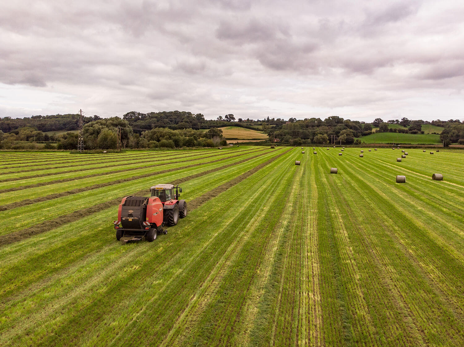
Forestry / woodland Photography
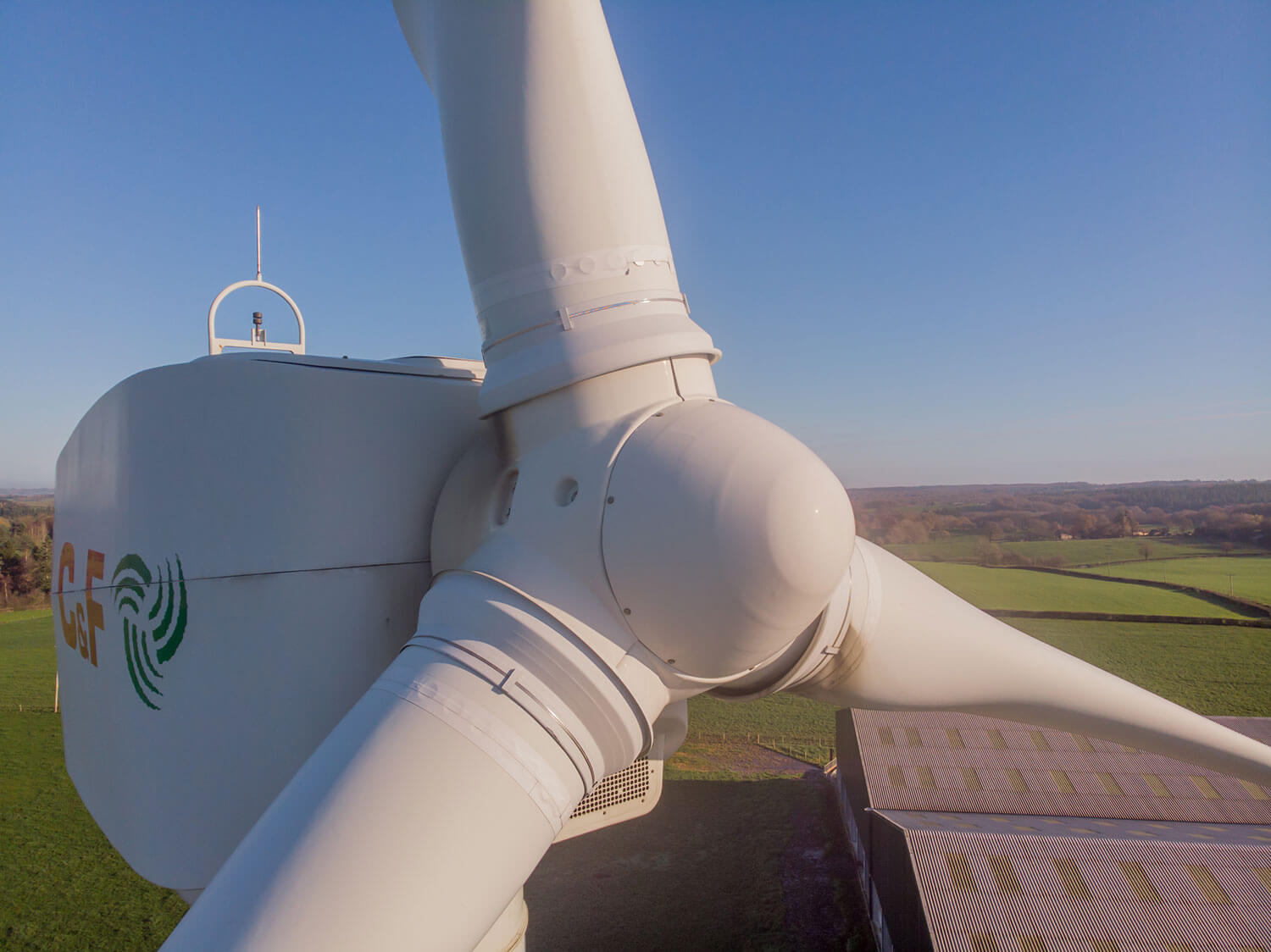
The use of UAVs in forestry surveys has a range of benefits to the forestry manager. With reduced costs, flexibility in time and space, the collection of video or photographic data can be carried out with no risk to humans.
Using DJI UAVs, it is possible to map large areas of forest using software that generates way points to ensure all areas are covered. The advantage is that once the programme is created, it is possible to carry out the further surveys covering the exact same flight path and photo collection points.
Call, or contact us to discuss your requirements.