Farm Surveys
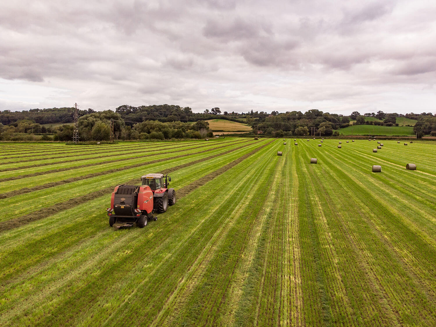
At Airscape Solutions, we can work with you to identify areas of compaction, identify areas of weeds, for example black grass in a crop of winter wheat or find lost land drains.
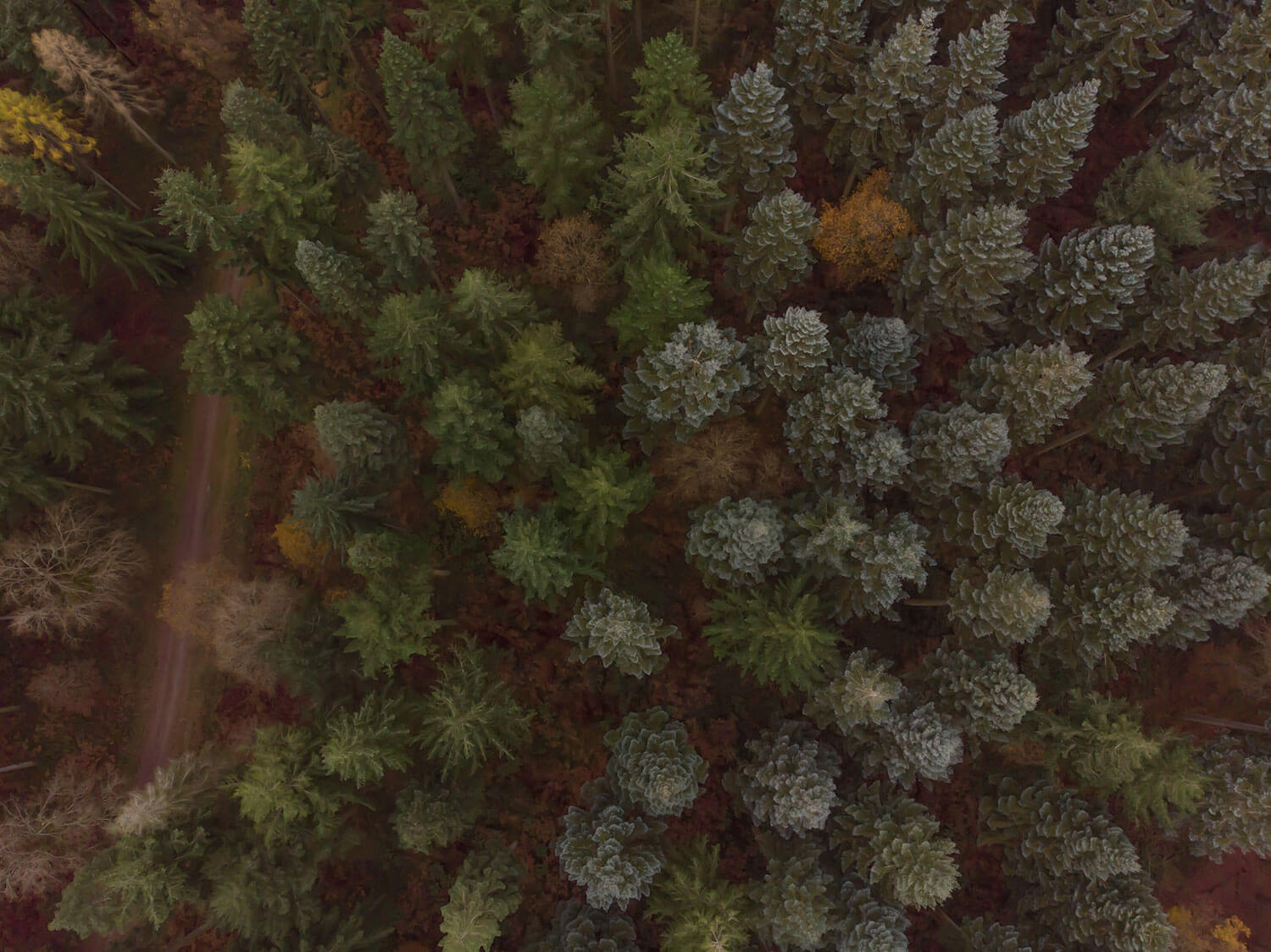
Other activities that can be carried out are overall farm surveys to help a new farm manager understand the scale of the farm, scare pigeons and also aerial photographs can prove useful in proving land features exist to the RPA (Rural Payment Agency) for BPS (Basic Payment Scheme) applications without the need for a farm inspection.
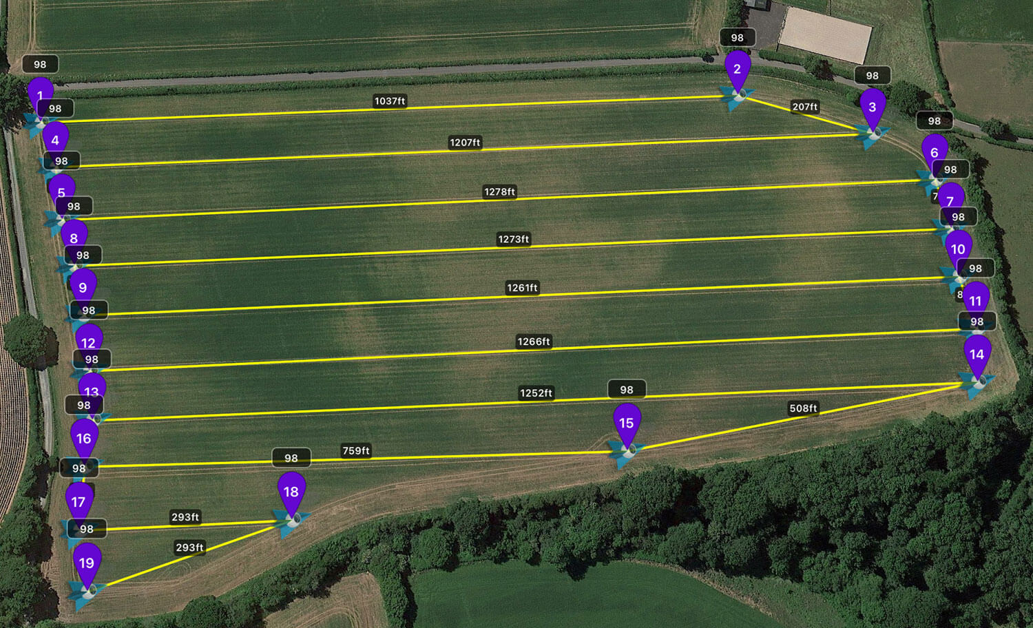
To cover large areas of farmland, a predefined flight path can be programmed to collect 4k video data or take a series of photographs to map the area. With this programmed flight path, the same data collection can be carried out at different times of the year to compare to previous records.
Call, or contact us to discuss your requirements.
